2021 – Now2021 – Now2021 – Now
Manifold Moss
An interspecies interface between mankind and moss.
Harvard University Landscape Architecture
About
Using the natural properties of moss as a bioindicator of air and water toxins, connected landforms are designed and tested for landscape remediation. Acting as a fleet of biosensors, they are strategically embedded into regions known for extreme water changes in the form of floods, drought, and wildfire. As the moss collects data from nature and the landform collects data from moss, an interface communicates the health of a landscape for human intervention.
Methods
This project builds on data modeling methods developed in previous projects. The system scope is widened to test the development of a conceptual data model through a speculative software application.
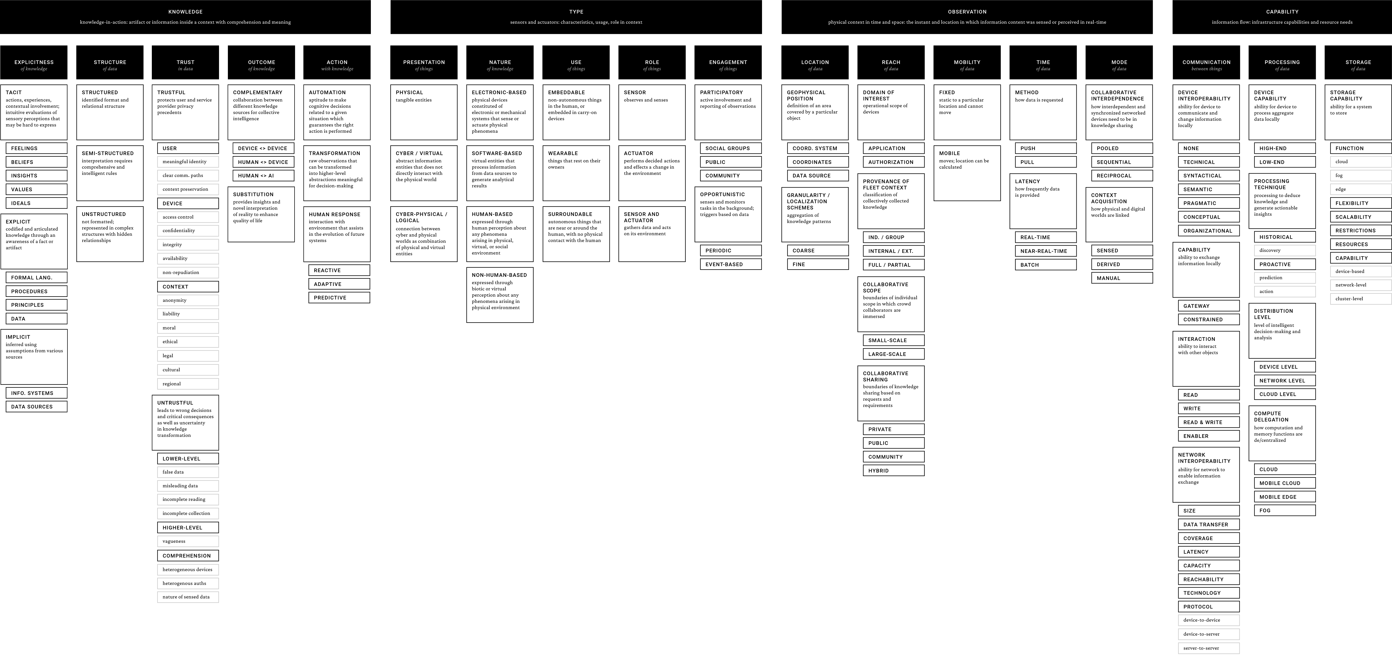
Data Model Methodology Development v3: Conceptual IoT Data Model
Expanding on this paper on IoT taxonomy with the ones previously developed, Moss speculates on a future of IoT-driven more-than-human platforms grounded in existing research across practice and academia..
01Methods
01
01Methods
Virtual Landscape Data
Houdini was used as a data mining environment. Landscapes were imported from public sources.
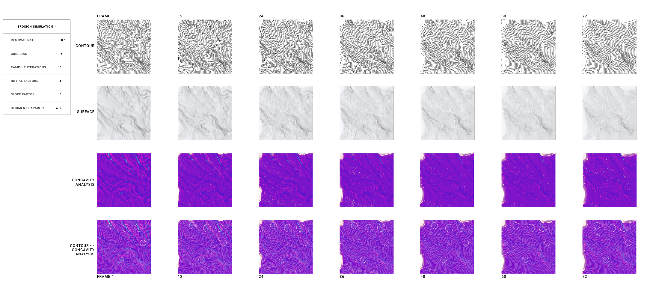
Landscape Water Erosion Simulation and Analysis
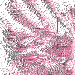
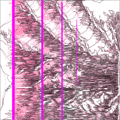
Erosion simulations were performed on a region of data in Houdini and analyzed for landscape changes.
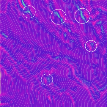
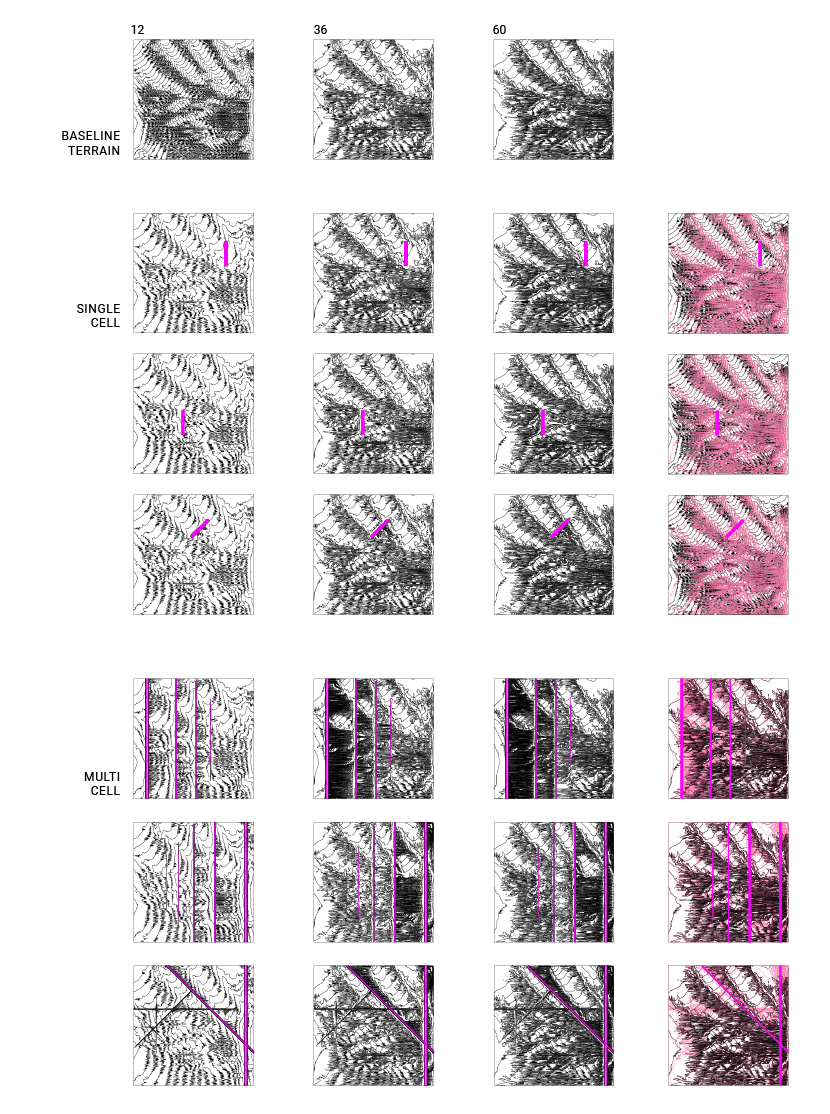
Land Intervention Water Erosion Simulation and Analysis
Using the most basic of forms, the rectangle, I parametrically placed landscape interventions to understand the physical and aesthetic possibilities of water erosion.
02Virtual Landscape Data
02
02Virtual Landscape Data
Logical Land Cell Design
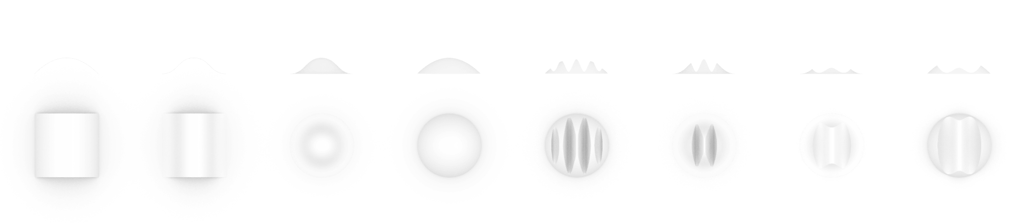
Several land cells were developed in Rhino. One was selected and 3D-printed.
Design Iterations
I wanted a simple shape that could direct water if modularized and scaled in n dimensions.
03Logical Land Cell Design
03
03Logical Land Cell Design
Physical Landscape Simulation Data
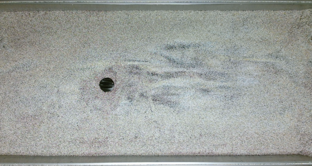
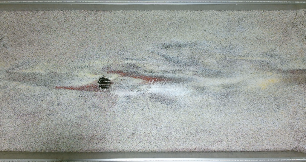
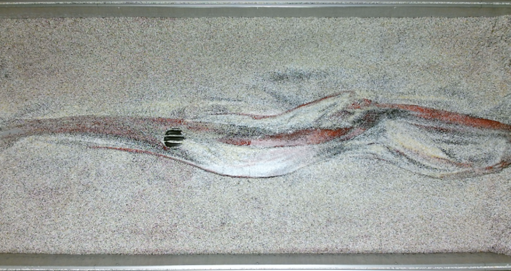
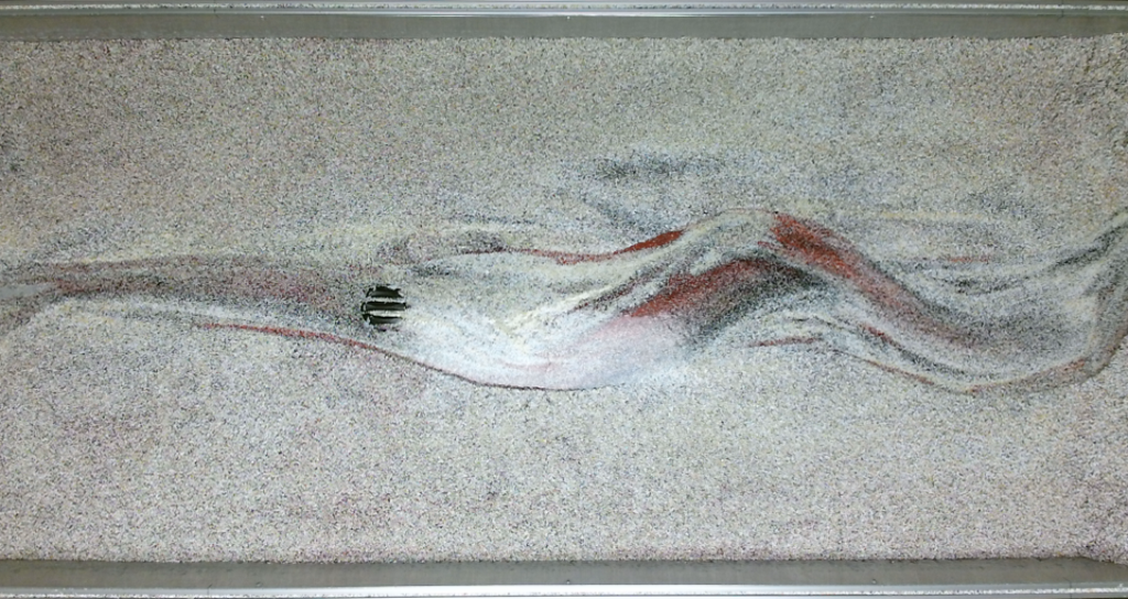
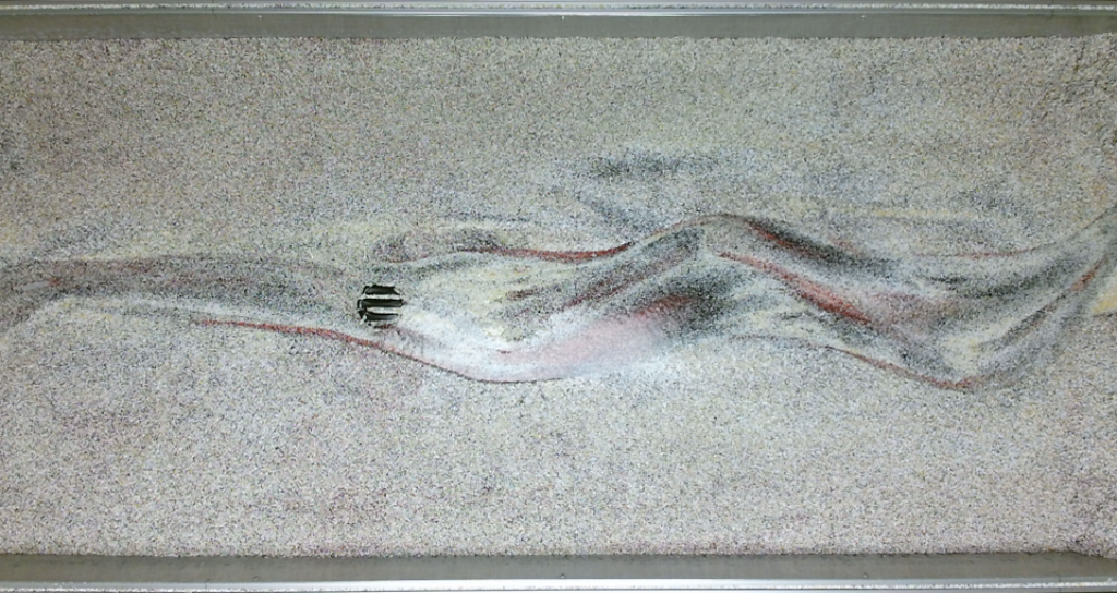
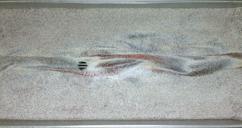
After the print, I installed and tested the land cell on a geomorphology table. A Kinect-to-Grasshopper plug-in recorded the data.
Single Cell Testing
I installed the land cell roughly 1/3rd the way down the geomorphology table. I was pleased to see rather clear visualizations of the Navier-Stokes equation to describe a motion of a fluid in space. There were also indications that my landcell were able to direct erosions over time.
Multicell Testing
I installed multiple land cells incrementally to test the modular design. Land cells that were placed closer together would control the routing of water more successfully. The internal channels only re-routed water if the flow rate was not so high. In the videos above, the geomorphology table was tilted to a strong degree, increasing flow rate, which is why the land cell channels did little to route water, and the water flowed around the land cells instead.
04Physical Landscape Simulation Data
04
04Physical Landscape Simulation Data
Cybernetic Data Model
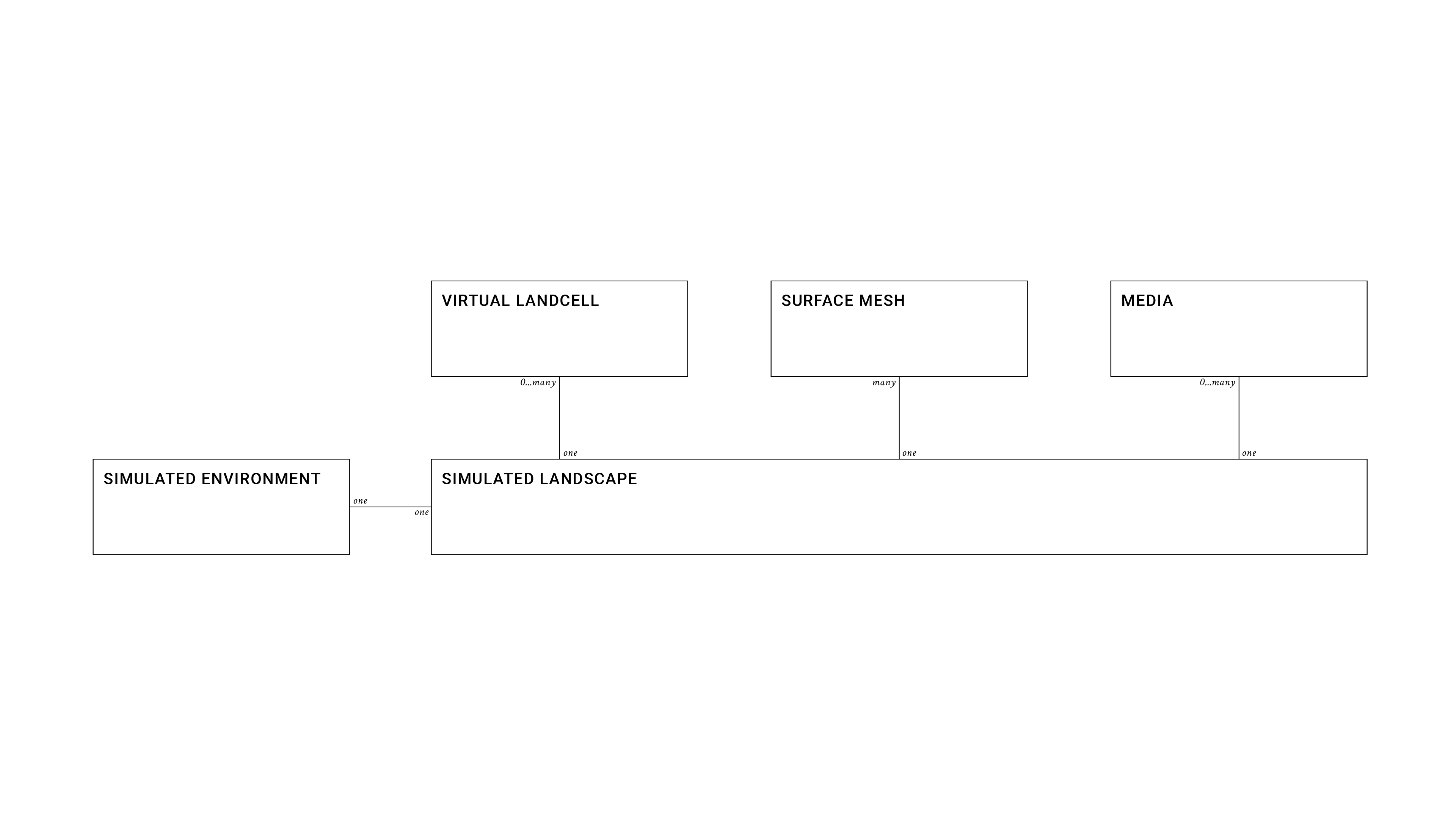
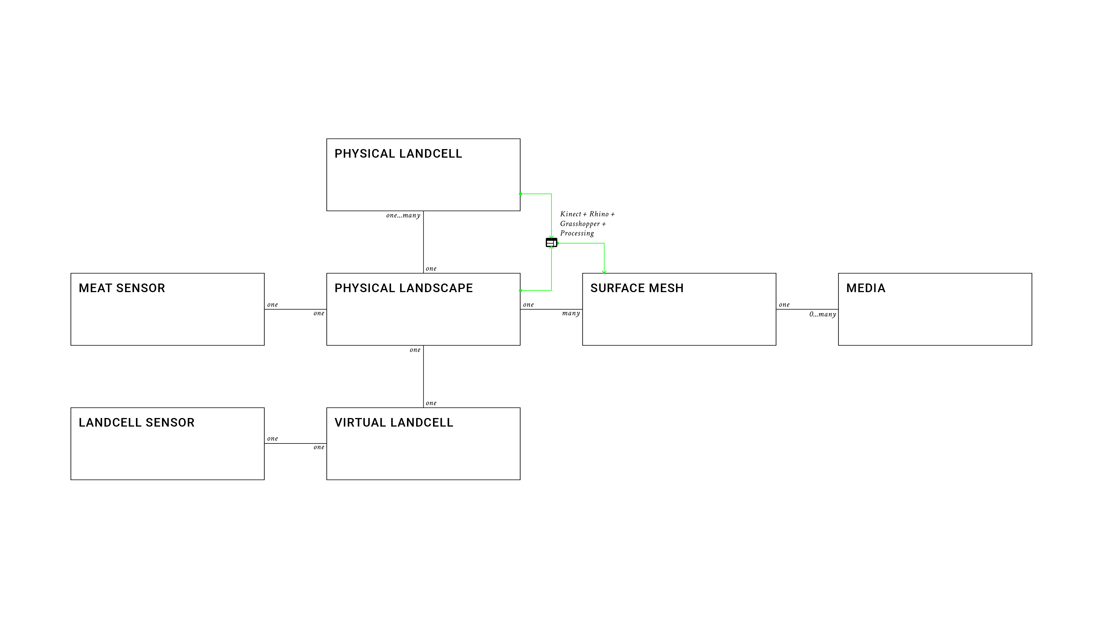
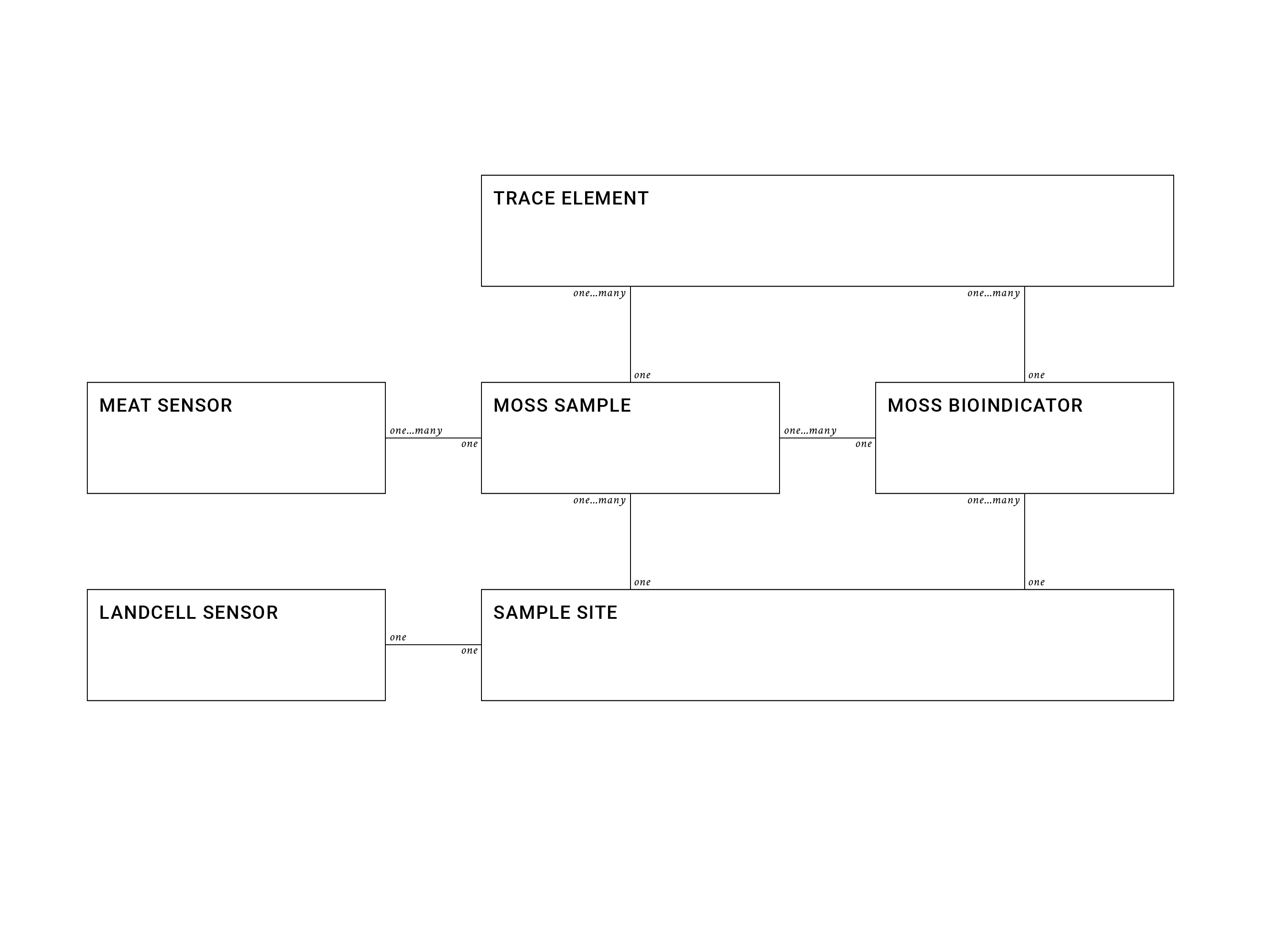
Throughout the development of the project, a data model was developed to enable moss as a bioindicator of a cybernetic system.
Virtual Landcell
Describes how the virtual land cell connects to the simulated environment
Physical Landcell
Describes how the physical land cell connects to the simulated environment.
Moss Bioindicator
Moss would be implanted on the physical land cell equipped with sensing technology.
05Cybernetic Data Model
05
05Cybernetic Data Model
WaterWaterData ModelsData Models